This map is taken from the Ordnance Survey 1:50 000 scale map.
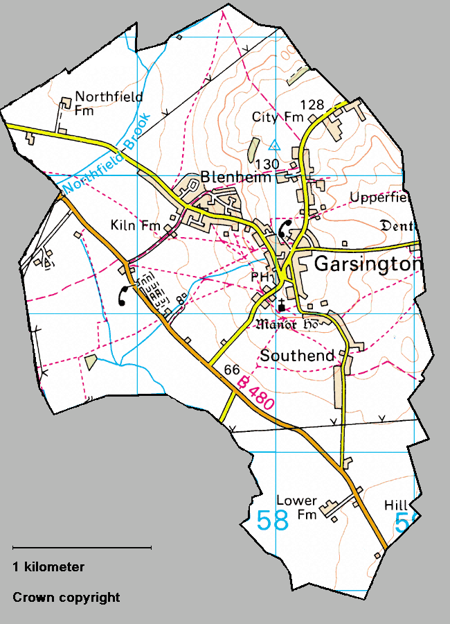
Image(s) produced from the Ordnance Survey Get-a-map service.
Image(s) reproduced with kind permission of Ordnance Survey and Ordnance Survey of Northern Ireland
Copyright © garsington.org.uk 2006. Last updated 15 November 2006.